Mesh 2D Zones Dialog (SWMM)

This dialog is used to generate mesh elements for use in 2D modelling, and is displayed when Mesh 2D zones is selected from the Model | Meshing menu.
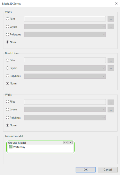
Voids, break lines and walls
The dialog allows network objects or digitised GIS data representing voids, break lines and wall data to be read by:
- Browsing for a GIS file:
Click on the
 button to identify the table.
 - Selecting a Layer in the GeoPlan
View: Select from the dropdown list or click on the button to display the GIS Layer Control Dialog.
- Selecting network object Polygons or Polylines in the GeoPlan View: Select a Category from the dropdown list.
Specification of voids, break lines and walls data is optional. The default option for each is None.

If specifying data sources for break lines and walls (polyline types), both data sources must be either from GIS (files or layers) or from network polylines.
Ground Model
A ground model must be specified for use in calculating heights of mesh element vertices. When the mesh elements are generated, heights of vertices will be interpolated from the selected ground model.
Click the button to browse for a ground model file,
or drag and drop a ground model item from the Explorer Window into the Ground Model box.
